

Riley Area construction projects
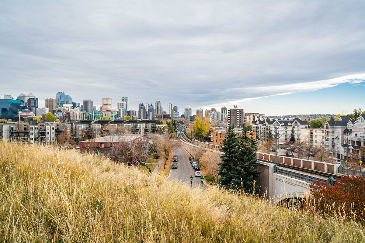
Riley Area construction projects
The City is investing in our infrastructure and public spaces to provide meaningful improvements for Riley area residents and businesses. These projects deliver a vision for the area that combines flood mitigation with vibrant public spaces and upgrades to community infrastructure.
Projects in progress
-
Pedestrian Crosswalk Installation: 10 Street & 8 Avenue N.W
Completed projects
-
Sunnyside LRT Station Crossing Arm Upgrades
Stay connected
Sign up for email updates to receive information about Riley Area projects and events.
Have questions or concerns?
Where is construction happening?
View details on the construction impacts for the Riley Area below*.
Sunnyside
Sunnyside
| Location | Closure Details | Anticipated Schedule | More Information | Project |
|---|---|---|---|---|
| Location : Eastbound Memorial Dr east of 14 St N.W. towards 10 St N.W. | Closure Details : Single lane closure | Anticipated Schedule : April 13 - end of September | More Information : One right lane closed 24/7 for pathway and landscaping work. | Project : |
| Location : Eastbound Memorial Dr between 10 St N.W. and 5A St N.W. | Closure Details : Single lane closure | Anticipated Schedule : April 20 – end of October | More Information : One right lane closed 24/7 for curb and roadway restoration and pathway upgrades. | Project : |
| Location : 2 Avenue and 7 Avenue N.W. | Closure Details : No lane closures anticipated. Minor, localized disruptions only. | Anticipated Schedule : Starting early July | More Information : Work in each area is expected to be completed in a relatively short duration, with landscaping typically completed within a day and concrete work within a few weeks. Short, temporary traffic disruptions may occur to accommodate construction activities, but delays are expected to be minimal and brief. | Project : |
*Anticipated schedule and duration of work is subject to change depending on factors such as complexity, weather, supply chain, and access
Hillhurst
Hillhurst
| Location | Closure Details | Anticipated Schedule | More Information | Project |
|---|---|---|---|---|
| Location : The intersection of 19 Street N.W. and 2 Avenue N.W. | Closure Details : The intersection will be completely closed to traffic. | Anticipated Schedule : Starting the week of September 8, this work is planned to take about one week and finish in mid-September. | More Information : The intersection of 19 St. N.W. and 2 Ave N.W. will be completely closed to traffic. Vehicle and pedestrian detours will be in place. No significant parking impacts are anticipated for this stage of work. On-site conditions may require the temporary loss of one or two parking spots near the work zone. If any parking restrictions are needed, temporary no parking signs will be posted in advance. | Project : |
*Anticipated schedule and duration of work is subject to change depending on factors such as complexity, weather, supply chain, and access
Bow River Pathway
Bow River Pathway
| Location | Closure Details | Anticipated Schedule | More Information | Project |
|---|---|---|---|---|
|
Location
:
14 St N.W.
to 10 St N.W. |
Closure
Details
:
Full
closure of the wheeling pathway |
Anticipated
Schedule
:
Ongoing – mid-Sepember |
More
Information
:
Wheeling traffic will be detoured to the south (downtown) Bow
River Pathway. Pedestrian pathway will remain open. |
Project : |
| Location : 9A St N.W Pedestrian Overpass | Closure Details : Full closure of the overpass | Anticipated Schedule : Ongoing – mid-Sepember |
More
Information
:
The 9A St N.W. pedestrian overpass over Memorial Dr is fully
closed. Pedestrians can cross at 10 St N.W. and wheeling traffic can use the
1 Ave N.W. roadway detour. |
Project : |
| Location : 9A St N.W. LRT Bridge closure | Closure Details : Full closure of the LRT Bridge | Anticipated Schedule : Ongoing – mid-Sepember |
More
Information
:
Pedestrian detours include 10 St N.W. Bridge or Peace Bridge to
access downtown or Sunnyside/Kensington. Wheeling detours include 14 St
Bridge or the Peace Bridge to 1 Ave N.W. roadway detour. |
Project : |
| Location : East of LRT Bridge to Peace Bridge | Closure Details : Full closure of the Bow River Pathway | Anticipated Schedule : Ongoing – mid-October | More Information : Pedestrians detour to the north side Memorial Dr N.W. sidewalk. Wheeling detours include the south (downtown) Bow River Pathway or the 1 Ave N.W. roadway detour. | Project : |
| Location : Memorial Dr. crossing at 7 St N.W | Closure Details : Full closure of the crosswalk | Anticipated Schedule : One day in mid-September | More Information : Pedestrian and wheeling traffic will be detoured to the 9A St. N.W. pedestrian overpass. | Project : |
| Location : 14 St N.W. to 10 St N.W. | Closure Details : Full closure of the pedestrian pathway | Anticipated Schedule : Mid-September - October | More Information : Pedestrians will detour onto the new multi-use pathway closer to Memorial Dr. N.W. | Project : |
Construction impacts:
Impacts may differ by project. Please visit the project webpage for details.
Do you want to receive construction updates right to your inbox?
Navigating traffic and road detours
The City has partnered with Waze to help Calgarians navigate construction detours and closures.
Plan your trip and minimize delays by using the Waze app.
Navigating pathway closures
Pathway closures due to Riley Area construction projects can be viewed here. To view all pathway closures and impacts across Calgary visit maps.calgary.ca/PathwaysandBikeways.
Riley Area construction events
The City is working closely with the community to keep residents and business owners informed about upcoming work in the area.
You can find information on our upcoming events and view recordings of previous virtual events below.
Upcoming events
There are no upcoming events scheduled.