Plan Your Trip - Traffic and travel tools
Plan your trip — Traffic and travel tools
It's not a pain when you have a plan.
Plan your trip with Calgary’s traffic and travel resources. Check real-time conditions, avoid delays and navigate the city with confidence - whether you’re planning ahead or adjusting on the go.
Behind every update is a City team working in real time to help keep Calgary moving safely and make travel easier to manage.

Planning tools
Before you leave, check these tools to save time and reduce stress:
-
An interactive map with the most up to date info on road closures and incidents happening across the city that may affect your route.
-
Estimated based on real-time congestion on Calgary's busiest routes.
-
View live traffic camera images of current road conditions on major routes and key intersections.
-
Current and planned closures and detours for parades, marathons, festivals and other special events.
-
See any Transit impacts like delays or interruptions in your journey.
-
Choosing Calgary Parking lots and parkades puts revenue back into Calgary communities. Plan your parking ahead to reduce driving and searching.
Tools on the go
If you're already on the road, use these tools (safely) to find out the issue and reroute to get to where you need to be faster.
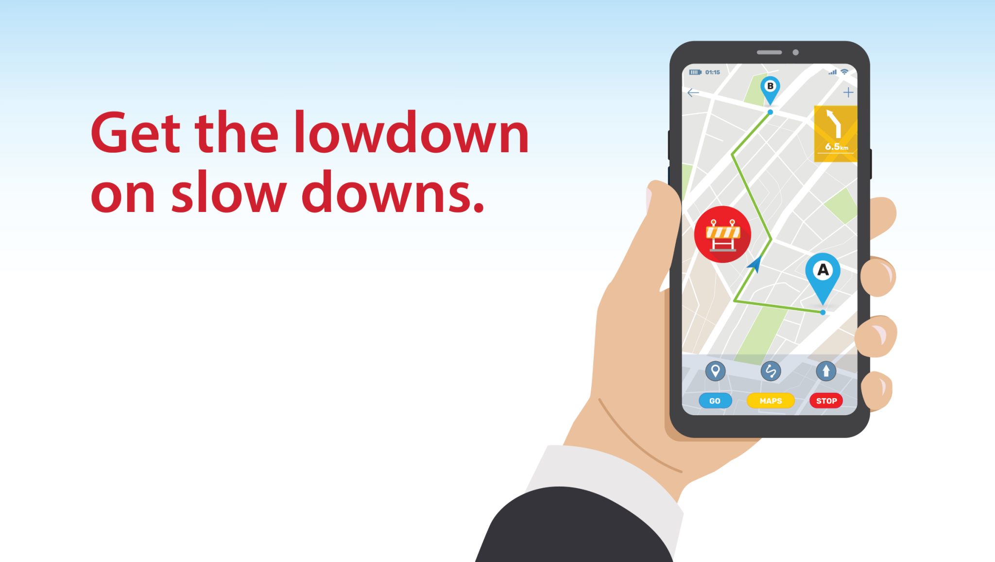
Waze mobile app
Real-time navigation, powered by our partnership with Waze.
- Get the fastest route and avoid delays.
- Closures and detours are automatically updated by The City.
- Join a community of drivers sharing real-time insights.
- Works on smartphones and tablets with GPS.
Traffic advisory radio (107.9 FM)
Up-to-the-minute traffic information city-wide, 24/7. Tune in during your commute for real-time updates on closures and incidents.
How we keep Calgary moving
To minimize delays and keep you safely moving, the Traffic Management Centre (TMC):
- Coordinates projects across the city to limit disruption.
- Aligns major construction, utility work, and events that impact traffic.
- Creates safe detour plans for drivers, cyclists, and pedestrians.
- Monitors roads in real time from the Traffic Management Centre using cameras and adaptive signals.
- Responds quickly to incidents like stalled vehicles.
Report a traffic problem
-
Speeding, unsafe driving near schools or playgrounds and intersection safety issues.
-
Traffic signals, signs, crosswalks and road conditions.
Why work happens - and why traffic happens
Every day, teams are out there caring for Calgary - building housing, repairing utilities, fixing infrastructure, upgrading sidewalks, improving safety and maintaining roads. These projects may mean temporary sidewalk, lane, or road closures for drivers, cyclists, and pedestrians, but the work is needed for a growing city.
Traffic isn’t only about work on our streets. It can happen because of collisions, stalled vehicles, weather or simply the number of people traveling at the same time - including you. As a winter city, we have a short window to complete projects, so work is carefully scheduled and coordinated.
That’s why we’ve created tools to help you plan ahead and avoid delays, so you can keep moving with confidence.